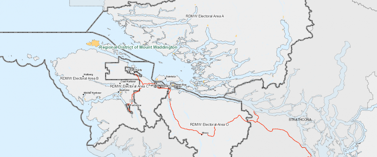
The Regional District of Mount Waddington has rolled out a new mapping service.
It’s called IMAP and will be available for anyone to use on its website.
Manager of Planning and development services for the district, Jeff Long says its been in the works for a while and will be a great resource for anyone who needs to know about properties.
“It’s been in the works since about 2017 and it will be especially beneficial for people that are constantly utilizing or requiring information about the land, including realtors and lawyers that will help them dig up information that will help them to identify the property and obtain digital third party information through land titles and other organizations.”
He added that it’s also great for residents who are simply asking about a specific property or land area.
“It’s always difficult to try and identify the area that they are talking about, what specific piece of property or land they are talking about and where. They can easily see it themselves and they can use go in and use the tools available on the website through the program to actually obtain the information they’re looking for.”
A system was already in place for the district to use where they had more detailed information available and Long says creating one for the public was a matter of a few changes.
“It was just a matter of taking that system and mirroring it so that we could then make it available to the public because otherwise were preparing paper maps or single maps that we put up on the website. With these new modern electronic systems were able to at any given time someone could click on it and it would be up to date with the information we’ve been updating as we go,” added Long.
If you want to use the system or see what is available through it visit the Regional District of Mount Waddington’s website.


