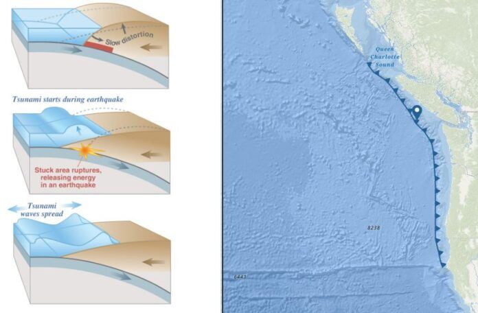
A new tool is now online to help North Island residents and visitors be prepared for a tsunami, and stay safe if one does happen.
The Strathcona Regional District has created the Northwest Vancouver Island Tsunami Story Map, which compiles information collected during risk assessments done by local governments and First Nations. It communicates the information visually, through an interactive map which includes scientific and historical information about past events. It also includes First Nations perspectives and oral histories, which often connect with historical and scientific data.
“The story map demonstrates findings from the tsunami risk assessment through maps, figures, photos, and video while reflecting on stories about similar events which have been passed down through oral tradition within the indigenous population,” says regional district Protective Services Coordinator Shaun Koopman. “Two scenarios were modelled, one originating from a Cascadia earthquake and the other from an Alaska earthquake. In some cases, modelled results correspond with prehistoric accounts of similar phenomenon. Reflecting on the past is one way we can validate the results of our tsunami models.”
To prepare for a tsunami risk, people living and working in tsunami hazard zones should practice their evacuation routes on foot or bike with family, friends or colleagues.


