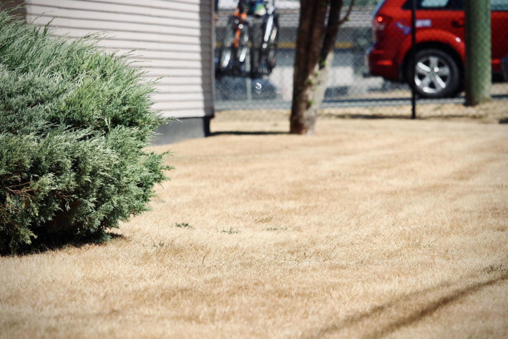
The seemingly endless stretch of dry weather that’s painted lawns white across B.C.’s South Coast isn’t letting up.
Environment Canada meteorologist, Bobby Sekhon, isn’t seeing any major rain events in the near future.
“There will be some unsettled conditions,” he added. “We’re seeing a fairly seasonal pattern for the next week or so here. Temperatures in the low 20s, sort of thing, and there will be a chance of showers close to (tomorrow) morning and during the day as well, and then Saturday, possibly another system comes through. So East Vancouver, (they’re) not going to see a whole lot.”

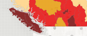
That’s bad news for all of Vancouver Island which, on a scale of zero to five, is locked in Level 5 drought conditions. The scarcity of rain is drying up riverbeds and putting fish populations at risk.
One example is the Tsolum River Watershed, where aquatic habitat is at risk of significant or irreversible harm, and survival of the fish population is threatened, due to low water levels and high stream temperatures
Things are also almost as dire on the Sunshine Coast, which is at Level 4. That means adverse effects are likely.
Sekhon says a dry spring has extended into an arid summer. In fact, communities across the South Coast saw less than half of its normal amount of rainfall for August.
“In Campbell River, we saw about 19 millimetres of precipitation compared to the normal of 45 millimetres, in Port Hardy we saw 28 millimetres compared to the normal of 73 (mm), and in Comox we saw 15 millimetres compared to the average of 29 millimetres of precipitation. In Powell River, we got 20 millimetres compared to the normal of 45 millimetres. So pretty much half or less.”
North Vancouver Island will likely see some wet weather later this week.
Sekhon predicts that tomorrow and into Thursday afternoon, Port Hardy will catch some of the storm cycle coming in from the Gulf of Alaska.
As for the Central and South Island and Sunshine Coast, Sekhon says he isn’t seeing any significant systems for the next week to 10 days
However, according to Sekhon, we could be seeing some relief on the horizon.
“As we move along in September, that’s where we could get increasing chances of seeing the systems that will deliver the good rainfall to Vancouver Island, and so as we get into the second half of September, that’s where we can expect a better chance of that happening,” Sekhon said.
“For Comox, the average rainfall for September is about 42 millimetres, and for October, it’s 123 millimetres so we can see it goes up by about three times, from September to October, so the end of September will be the transition to the wetter season.”


