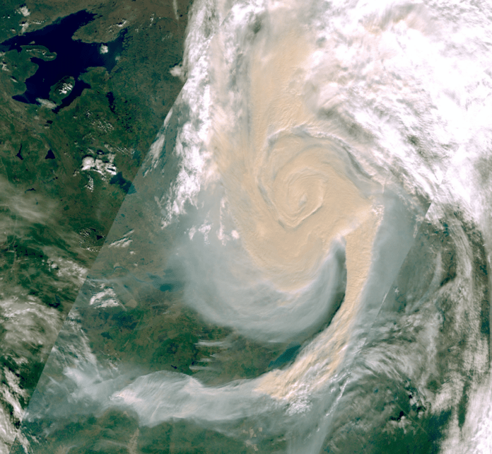
Getting detailed information on Canadian wildfires could come from the skies in the future.
The WildfireSat project is run by the Canadian Space Agency, Natural Resources Canada, and Environment and Climate Change Canada, with the goal of monitoring all active wildfires in the country on a daily basis.
Deputy Project manager for the project Miriam Micael says wildfires have become a growing concern for the past several years.
“We’ve seen how it has been really affecting our communities within Canada and across the world, and that’s where this initiative came from,” said Micael.
“The Canadian Forest Service wanted to look at using earth observation data in order to enhance decision-makers and fire-managers on the ground and give them the tools to have the ability to make better decisions, and not have to put themselves in danger constantly to monitor the fires.”
Micael says the data collected from the satellite will also be used for carbon reporting, smoke and air quality reporting, and emission estimates, which the agency will look at with Environment Canada.
She says for next year, they’re aiming for a contract that will allow them to design, build, launch, and commission the satellite.
“At the same time, the Canadian Forest Service will start their knowledge exchange with fire managers across Canada, really getting them up to speed and prepared for the launch of the satellite,” said Micael.
The satellite is scheduled to launch in 2029.


