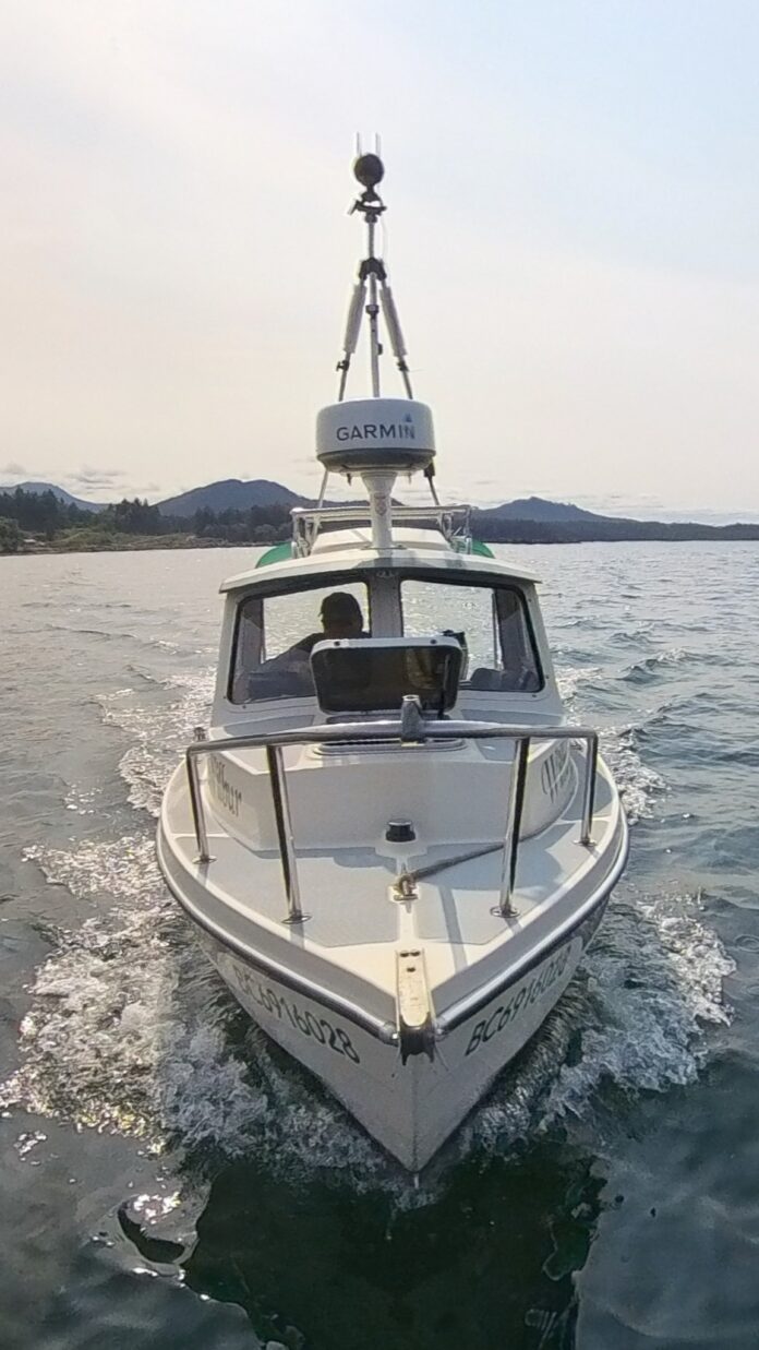
The Pacific Salmon Foundation has a special boat collecting coastline data to help wild salmon this summer.
It’s kind of like the Google Maps car, but for the shoreline.
The 16-foot research boat “Wilbur” is currently near Port McNeill, after spending the last week mapping shorelines between Comox and Campbell River.
The foundation says the data Wilbur is collecting is part of the Resilient Coasts for Salmon program. The team is mapping what’s known as coastal hard armouring along the entire east coast of Vancouver Island. Protecting shorelines with rip-rap and other hard barriers prevents erosion, but can restrict salmon habitat.
The boat is capturing 360-degree and high-resolution photos. The data will help make sure the health of shorelines is considered in future decision-making.


